The West Highland Way, Scotland, as a 3D map you can hold
Scotland's most famous long walk: 154 km from the edge of Glasgow along Loch Lomond and Rannoch Moor to the foot of Ben Nevis.
See the West Highland Way, Scotland in 3D →Free to explore in your browser. No sign-up needed.
~119 km / 74 mi of route
Real elevation data
Ships to 50 countries
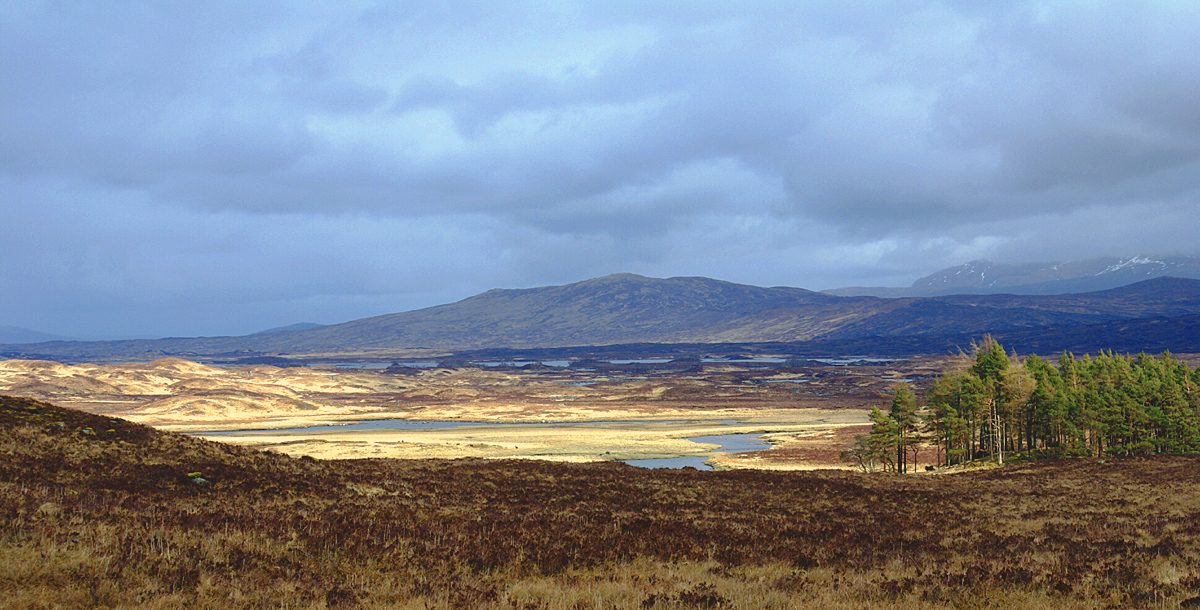
About this route in 3D
Open the designer and the real West Highland Way, Scotland becomes a solid topographic model: the route rides on top of true elevation terrain, surrounding peaks and valleys included, with automatic place labels for the towns and landmarks along the way.
Everything is editable. Swap in your own dates, rename the labels, change the base shape, or replace the route entirely with the trip YOU took. The model you see is the model you get, as a watertight file ready for any 3D printer, or as a finished print made by us.
How it works
- Open the West Highland Way, Scotland in our 3D designer. Real terrain, real elevation, in your browser.
- Make it yours: use your own route, dates, labels, size and shape.
- Download the printable STL file, or order a finished 3D print. We ship to 50 countries, with optional wood frame and LED base.
Common questions
- Is this the real terrain of the West Highland Way, Scotland?
- Yes. The 3D model is built from real elevation data, so every climb, ridge and valley along the West Highland Way, Scotland appears at true relative height.
- Can I use my own route instead?
- Yes. The designer accepts your Google Timeline export, geo-tagged photos, or a route you draw by hand. The West Highland Way, Scotland is just the starting point.
- How do I get the finished model?
- Two ways: download a printable STL or GLB file for your own 3D printer, or order a finished print and we make it and ship it. We deliver to 50 countries, with optional wood frame and LED base.