Printing your voyage… 0%
Open the designer, it’s free
Continue from any device
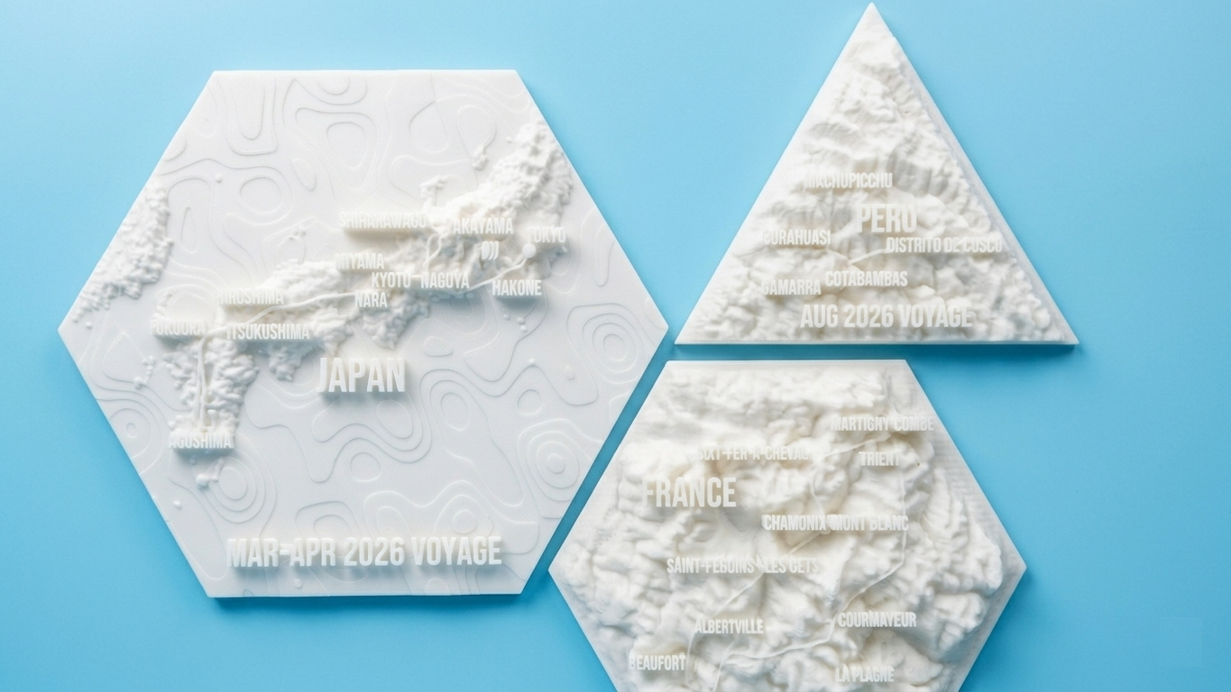
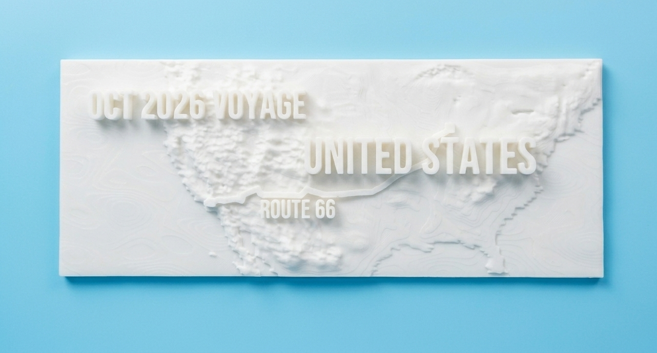
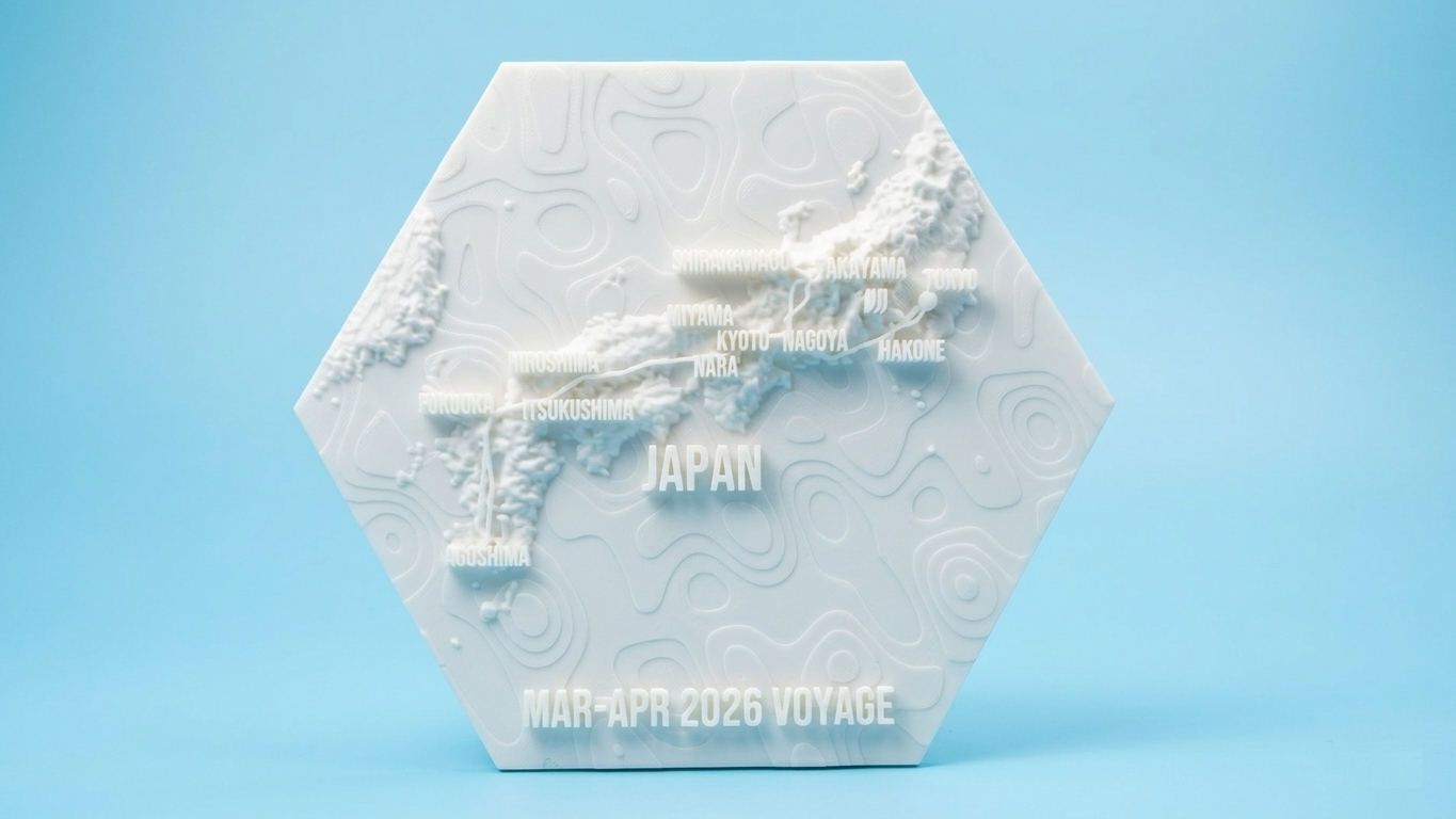
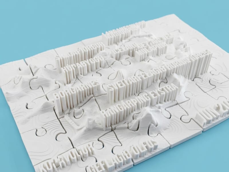
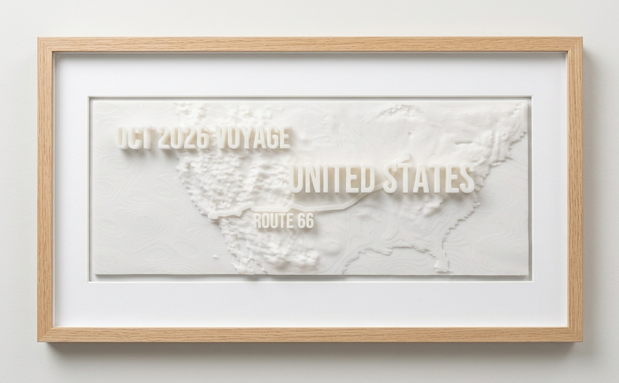
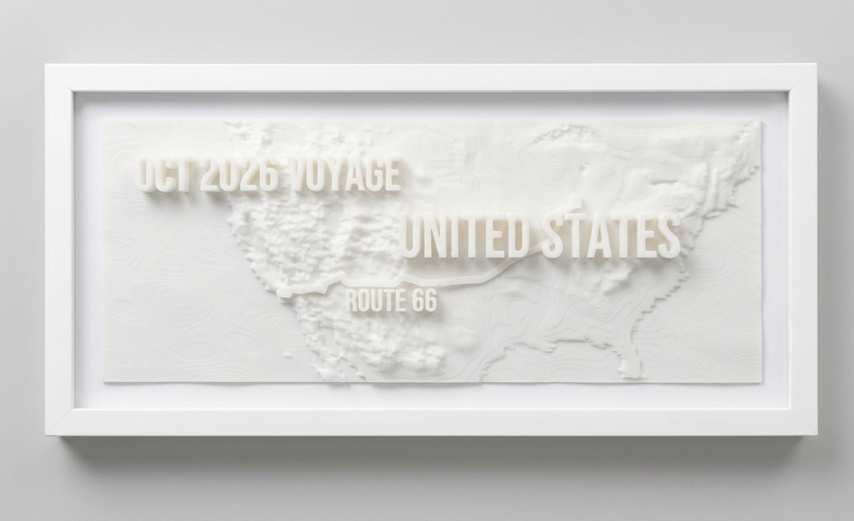
The journey you'll never forget on your shelf.
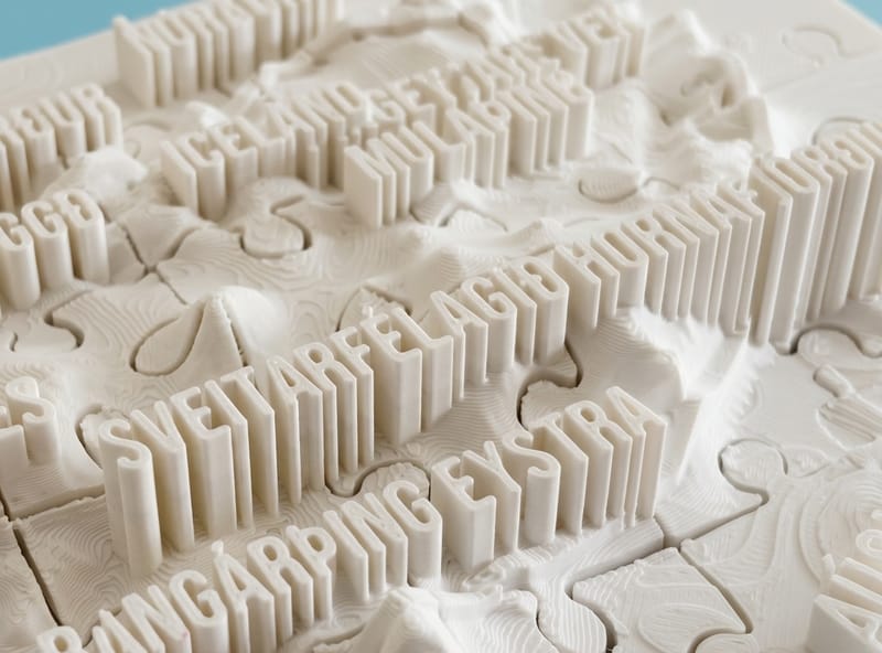
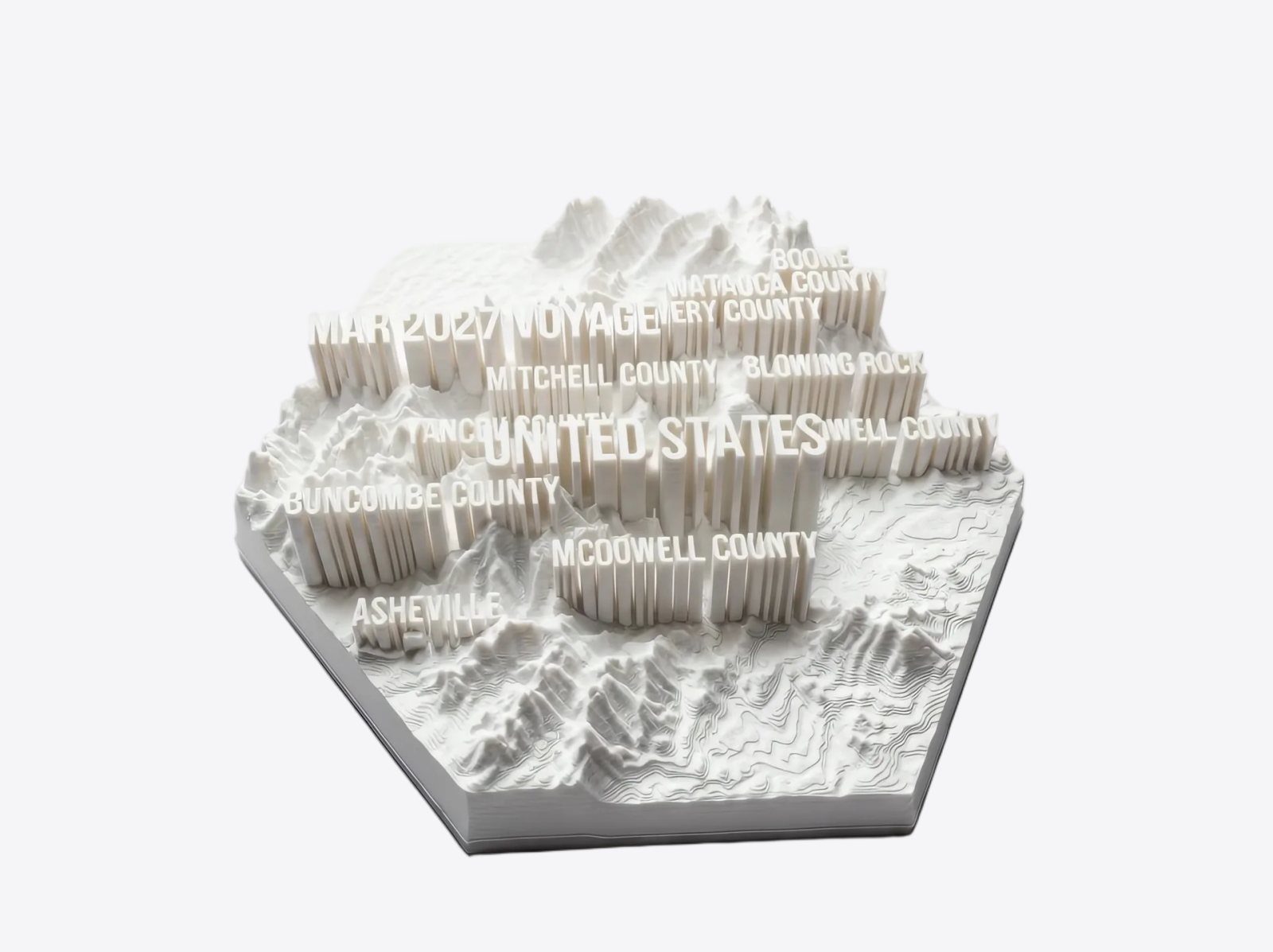
Every mountain you crossed, every coastline you followed - rebuilt as a real topographic 3D print, with your route and your places embossed in the terrain. Works with Google Timeline, any GPX (Strava, Garmin, Komoot…) or just your geo-tagged photos. See how it works ↓
Turn my trip into 3D — freeDesign free · your file for $10 or less · shipped prints at the lowest print-service rates
STL or shipped print
Ships to 50 countries
Free to design
Print network · production capacity in use
–%
How this works →
Scroll